Abstract

This German map from the 1890s shows the colonial possessions of Germany (marked in blue), Great Britain (pink), and Portugal (orange), as well as the independent territories of the Orange Free State and the South African Republic (also called Transvaal), both so-called Boer republics founded by descendants of Dutch and other settlers. The map gives an impression of the geopolitical dominance of Great Britain in colonial South Africa at that time.

Colonies in South Africa (1890s)

Source

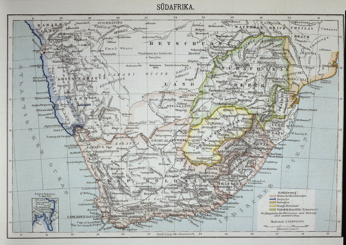
Source: “South Africa” – political map, scale 1:10,000,000. Map, no date (c. 1890).
bpk-Bildagentur, image number 00023781. For rights inquiries, please contact Art Resource at requests@artres.com (North America) or bpk-Bildagentur at kontakt@bpk-bildagentur.de (for all other countries).

© bpk