Source
Source: Johann Friedrich Walter, City Map and View of Berlin, c.1:9 000, engraving, 1737. SLUB Dresden
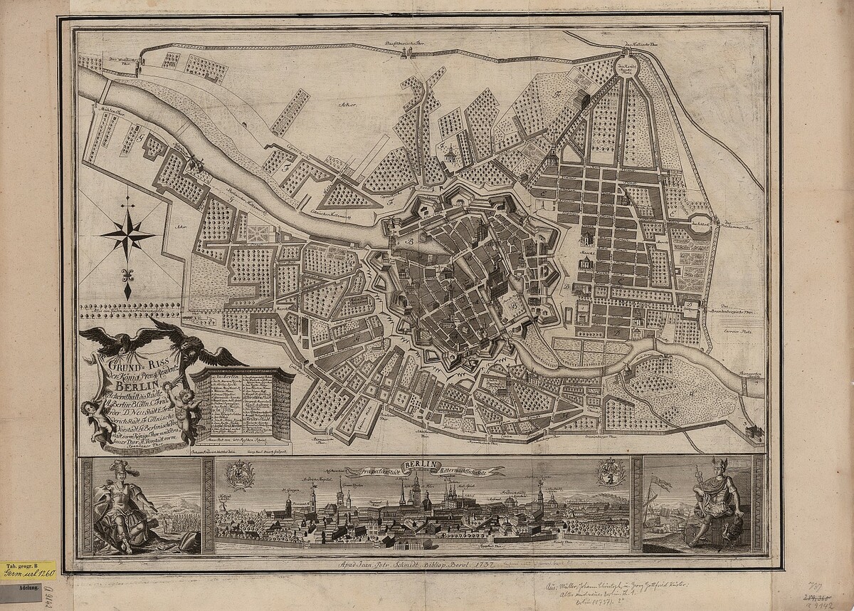
This map of Berlin from 1737, late in the reign of the austere “soldier king,” shows the Prussian capital before its rebuilding as a monumental dynastic capital a century later. Devastated during the Thirty Years’ War, Berlin had grown rapidly after becoming the capital of Brandenburg-Prussia in 1709. The city’s heavily fortified center, encased in a ring of bastions, is most prominent in this depiction.
Source: Johann Friedrich Walter, City Map and View of Berlin, c.1:9 000, engraving, 1737. SLUB Dresden
SLUB Dresden