Abstract

The zonal borders followed Berlin's district borders. This photograph shows the border between the American-occupied district of Kreuzberg and the Soviet-occupied district of Mitte. At this spot in the vicinity of Potsdamer Platz, the border ran perpendicular to the main street. The ruins of the "Haus Vaterland" (“House of the Fatherland”), which had been converted into a restaurant and entertainment center in the 1920s can be seen in the background.

Sign Demarcating the Zonal Borders in Destroyed Berlin (1945)

  • Friedrich Georg Weitsch

Source

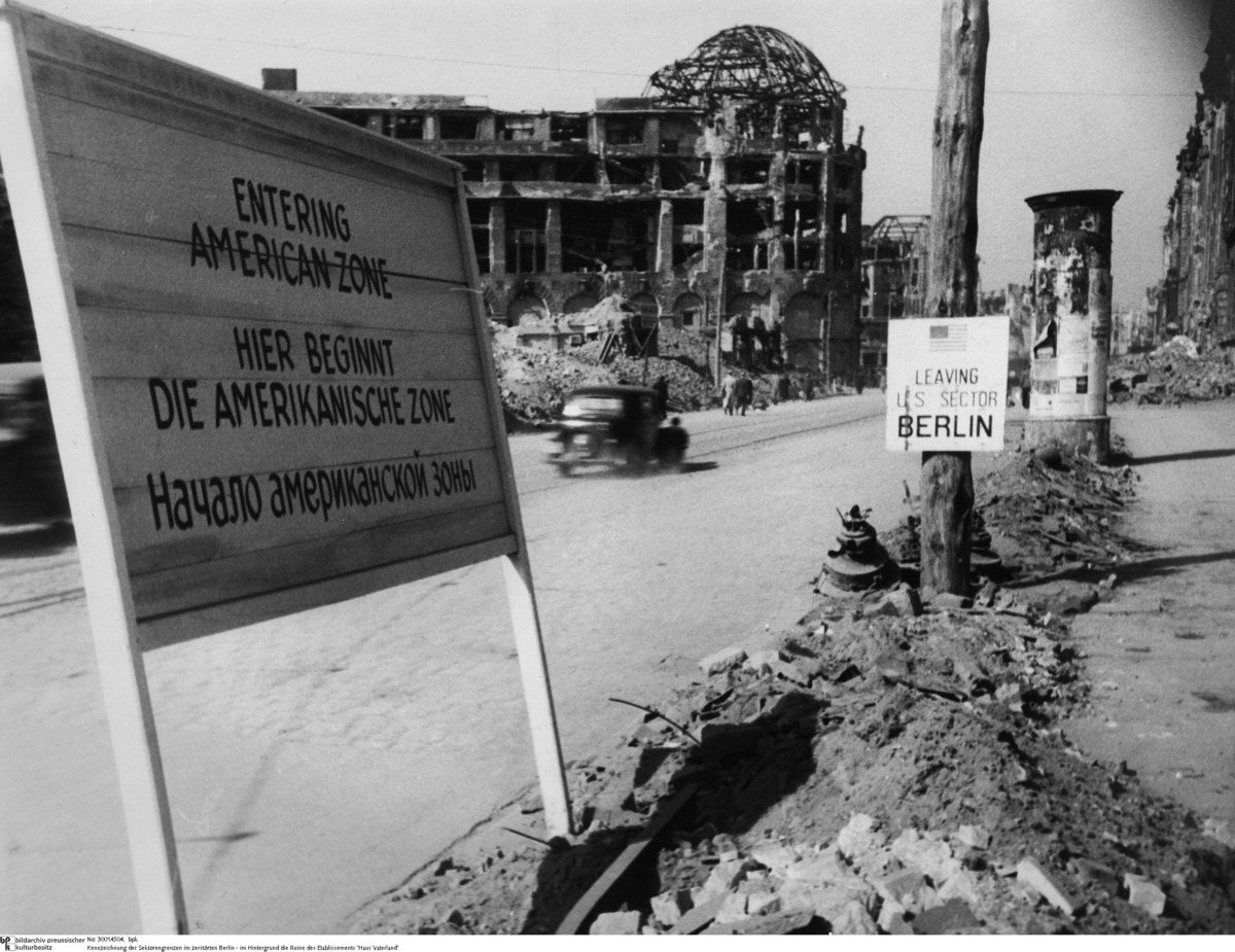
Source: Sign Demarcating the Zonal Borders in destroyed Berlin – in the background the ruins of “Haus Vaterland”. Unknown photographer.
bpk-Bildagentur, image number 30014504 . For rights inquiries, please contact Art Resource at requests@artres.com (North America) or bpk-Bildagentur at kontakt@bpk-bildagentur.de (for all other countries).

© bpk