Abstract

This map shows the results of the Reichstag elections of October 28, 1884. For each of Germany’s 397 Reichstag constituencies, the map shows the party affiliation of the winning candidate and that of his principal opponent (as long as the latter won at least 20 percent of the popular vote). The infill color of the constituency represents the party of the winning candidate, the small circle represents that of his opponent. Saxony’s 5th Reichstag constituency, Dresden-Old City, and its 12th constituency, Leipzig City, are shown in the inset.

Map: The Reichstag Elections of 1884

Source

Source:

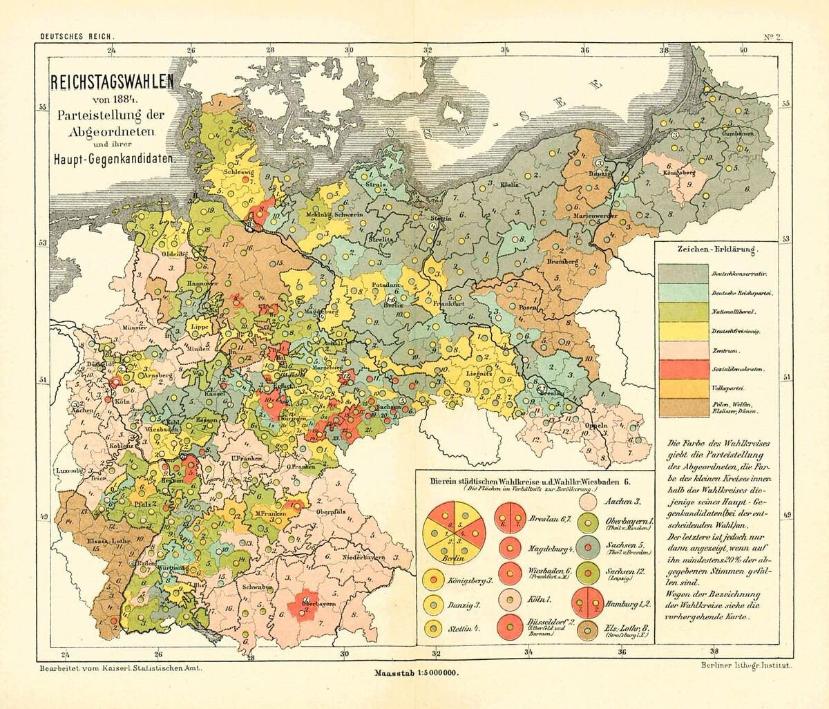
Kaiserliches Statistisches Amt, ed., Statistisches Jahrbuch für das Deutsche Reich, Jg. 7. Berlin: Puttkamer & Mühlbrecht, 1886, “Kartographische Darstellungen und Diagramme: Reichstagswahlen von 1884,” 2. Blatt, “Parteistellung der Abgeordneten und ihrer Hauptgegenkandidaten.” Available online at: http://redsaxony.utoronto.ca/Map_S.4.10_Reichstagswahlen_von_1884.htm.